
 Image 1 of 3
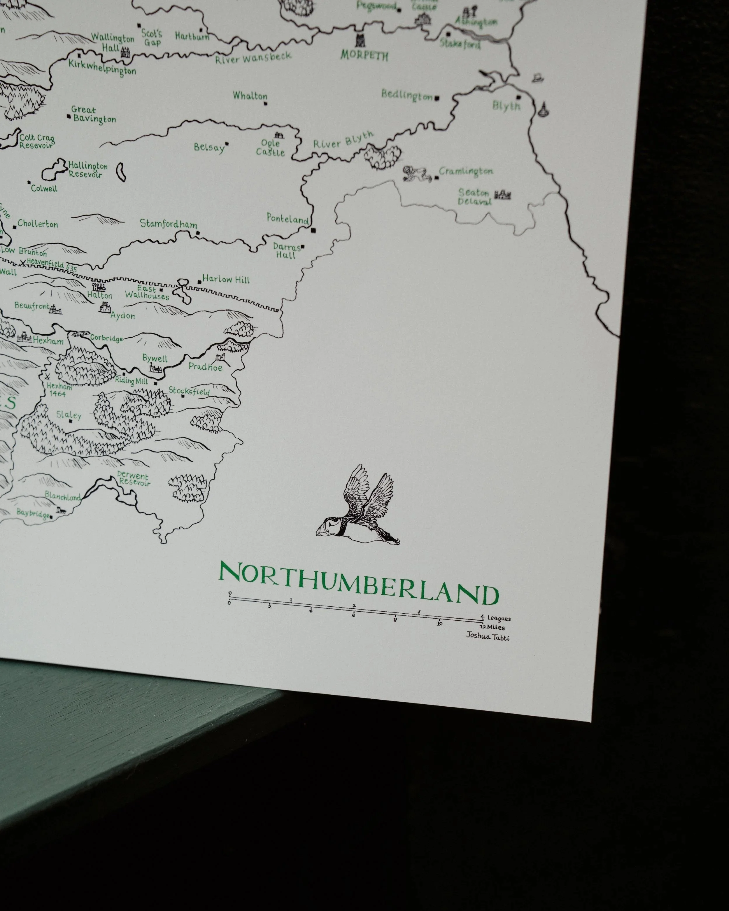 Image 2 of 3
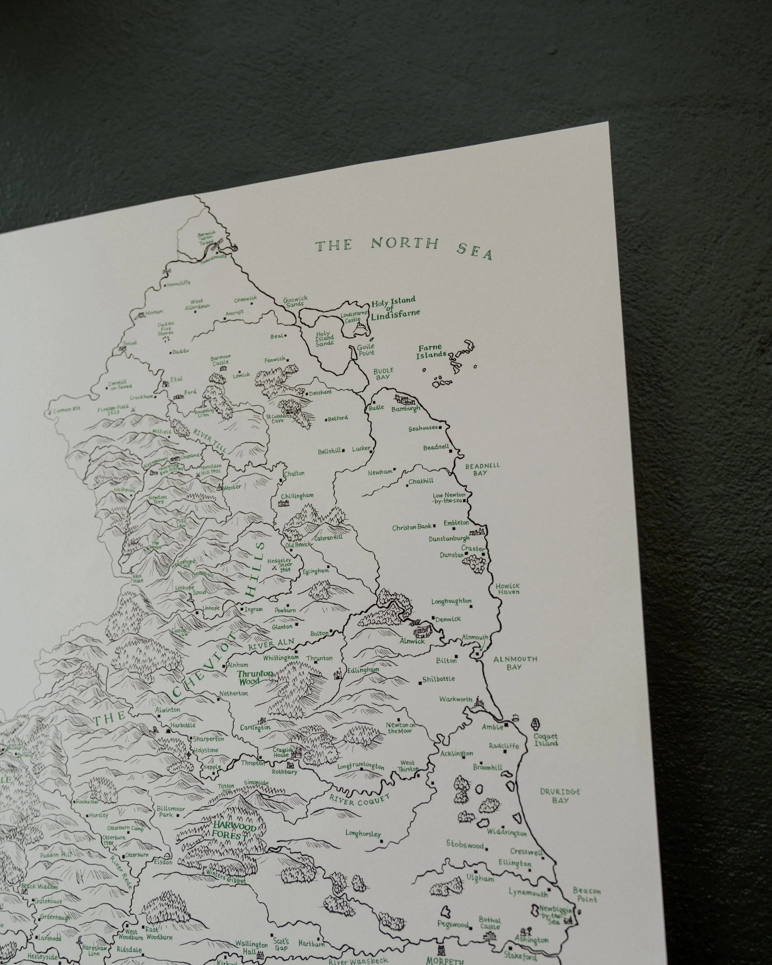 Image 3 of 3
"I wisely started with a map." - J.R.R. Tolkien.
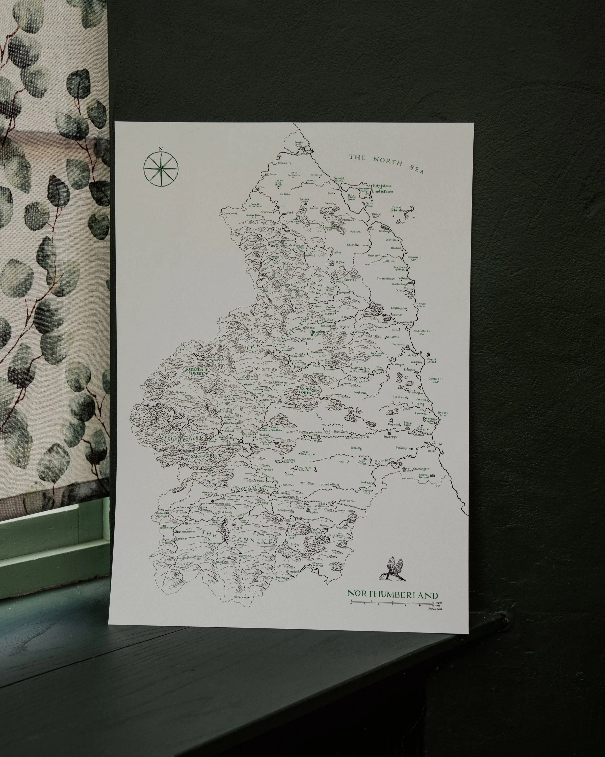
A detailed map of Northumberland, charting the county's physical geography, landmarks and towns, inspired by Tolkien's fold-out maps of Middle Earth from The Lord of the Rings and The Hobbit.
Hand illustrated in traditional dip pen and ink by Joshua Tabti, with hand-lettered calligraphy, and built on meticulous research into land cover, terrain and landmarks for a survey that's as geographically accurate as it is beautifully drawn.
A2 (594 x 810mm). Fine art print on heavyweight 200gsm paper.
"I wisely started with a map." - J.R.R. Tolkien.
A detailed map of Northumberland, charting the county's physical geography, landmarks and towns, inspired by Tolkien's fold-out maps of Middle Earth from The Lord of the Rings and The Hobbit.
Hand illustrated in traditional dip pen and ink by Joshua Tabti, with hand-lettered calligraphy, and built on meticulous research into land cover, terrain and landmarks for a survey that's as geographically accurate as it is beautifully drawn.
A2 (594 x 810mm). Fine art print on heavyweight 200gsm paper.